Which Part of Sarjapur Road Is Ittangur?
Featured Image of Which Part of Sarjapur Road Is Ittangur?


Ittangur is near the Sarjapura town end of the wider Sarjapur Road corridor, in southeast Bangalore. It belongs to Sarjapura hobli, Anekal taluk, Bengaluru Urban district, and uses PIN code 562125. It is a village location near Sarjapura and Yamare. When travelling from Bellandur towards Sarjapura, Ittangur is in the outer part of the corridor, beyond the main city-side office areas.

The location is different from Bellandur, Iblur, Doddakannalli and Carmelaram, which sit farther towards the city. Dommasandra, Yamare, Sompura and Sarjapura are useful nearby names when checking an Ittangur address. Homes here may be advertised under “Sarjapur Road,” but their final approach can be on a local road. The exact entrance matters because Ittangur is an area, rather than one point on the main road.
Is Ittangur Near Sarjapura Town or Bellandur?


Ittangur is near the Sarjapura town side of the corridor. Bellandur is at the city-side end, close to the Outer Ring Road. Between these areas, Sarjapur Road passes through several residential and work locations. This is why two homes described as “on Sarjapur Road” can have very different surroundings and commute routes.

For a buyer, the distinction is useful from the start. A Bellandur home may suit an office around the ORR, while an Ittangur home needs a longer city-bound road journey to that area. Both locations have access to Sarjapur Road, but that does not make them equally close to the same workplace. Compare the full address rather than the broad road name.

Where Does Ittangur Fit Along the Sarjapur Road Corridor?


From the city side, the main corridor runs through areas such as Doddakannalli, Carmelaram and Kodathi before reaching Dommasandra and Yamare, then continuing towards Sarjapura. Ittangur sits in the surrounding Sarjapura region. Its local roads connect with this wider network.

These landmarks help place the village on a map. They also show why Ittangur should not be confused with the office-heavy stretch near Bellandur. The route to a home in Ittangur includes both the main-road journey and the local approach. A project’s entrance may be more useful for directions than the village centre.

Is Ittangur Directly on Sarjapur Main Road?


An Ittangur address does not automatically mean the property has frontage on Sarjapur Main Road. The village includes homes and developments reached through local roads. Property adverts often use Sarjapur Road as the wider location name because it is the main corridor serving the region.

This matters when judging access. A home close to a main-road turn can have a different journey from one farther along an internal road. Road width, turning space and the condition of that stretch affect daily travel. The sales-office pin and residential entrance should also be checked separately for a large development.

Ittangur’s Taluk, Hobli and PIN Code


Ittangur belongs to Anekal taluk and Sarjapura hobli in Bengaluru Urban district. Its PIN code is 562125, with postal listings linking it to Sarjapura Post Office. Several nearby places share this PIN code, so it cannot identify the village on its own.

A useful address includes the project or building name, road, village and landmark. Maps and transport records may spell the name as Ittanguru, Ittangoor or Ittuguru. When one of these appears in a search, match it with the Sarjapura region. The spelling alone is not enough to confirm a destination.

Nearby Areas That Help Identify Ittangur


Sarjapura is the main town reference for Ittangur. Yamare and Sompura are useful names around the adjoining residential belt. Dommasandra is an important junction on the route towards the city and connecting roads. These places help explain an address without relying only on “East Bangalore.”

Each name describes a separate location. A property near Yamare may use a different approach from one near the Ittangur village centre. The same applies to homes marketed near Sarjapura. Ask for the entrance location when comparing two properties, so the routes start from the right place.

How Do You Reach Ittangur from the City Side?


From Bellandur or Iblur, follow Sarjapur Road towards Sarjapura. The journey uses landmarks such as Doddakannalli, Carmelaram Gate, Kodathi Gate and Dommasandra. Continue towards the Yamare–Sarjapura side, then take the local approach shown for the destination.

There is no single final turn for every Ittangur address. A village home, apartment block and township sales office can use different roads. For a first visit, follow the exact pin shared by the owner or project team. This avoids reaching the right locality but the wrong entrance.

What Does This Location Mean for Office Travel?


Ittangur gives road access towards the workplaces along Sarjapur Road. These include RGA Tech Park and Wipro’s campuses in Kodathi and Doddakannalli. Offices around Bellandur and Kadubeesanahalli require travel farther towards the Outer Ring Road belt.
The company’s campus matters more than its name. Wipro Kodathi and Wipro Doddakannalli are separate destinations, while an RGA commute differs from a journey to Ecospace. Distance should be measured from the home entrance to the assigned office. A weekday trip gives a clearer view of the route than a quiet weekend visit.

Why Are Ittangur Homes Listed Under Sarjapur Road?


Sarjapur Road is the broader location used for many homes across this residential corridor. Ittangur is the specific village name within the surrounding Sarjapura region. Using both names helps buyers understand the wider route and the actual address.

The broad label should still be supported by a clear location. “Sarjapur Road” alone does not show whether a home is near Bellandur, Kodathi or Sarjapura. A useful listing names Ittangur and provides the approach road or nearby landmark. That makes the location easier to compare with other homes.

A New Residential Project in Ittangur Near the Sarjapura End


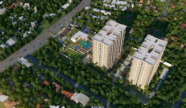
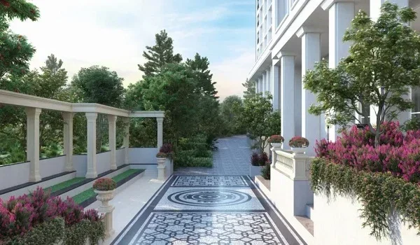
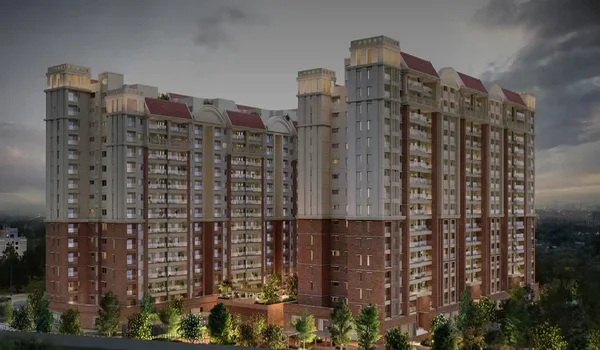
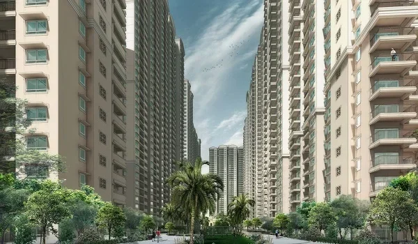
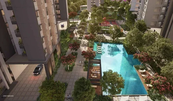
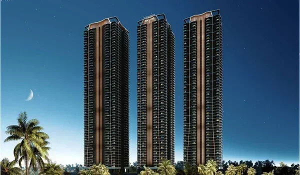
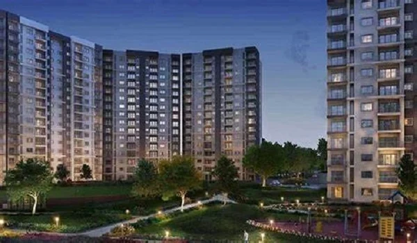
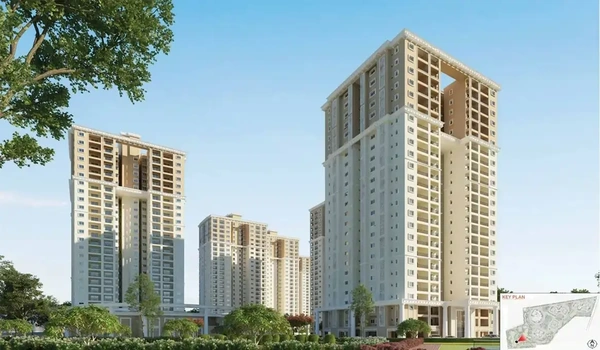
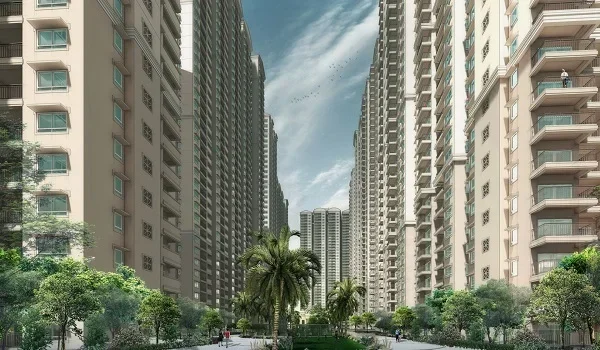
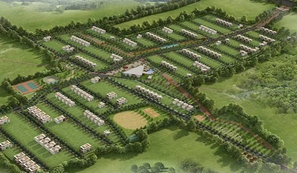
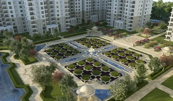
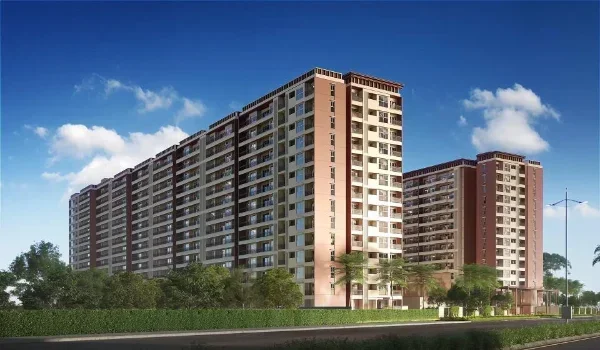
Prestige Garden Breeze is one such new residential project in Ittangur, near Yamare on the Sarjapur Road corridor. It forms Phase 7 of The Prestige City and covers 10 acres, with 655 homes in four towers. Prices start from ₹1.2 crore. Its location places it in the Sarjapura-side residential area, rather than the Bellandur–ORR end.

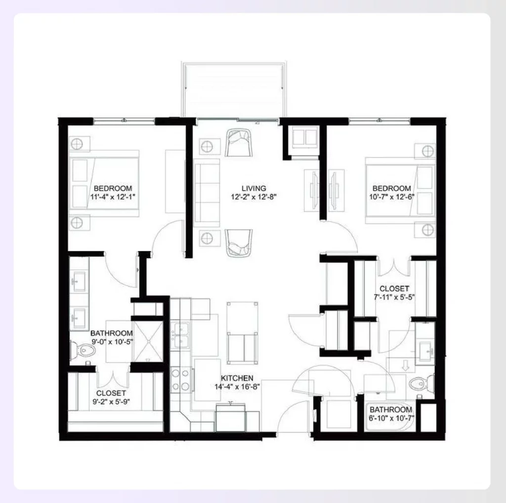
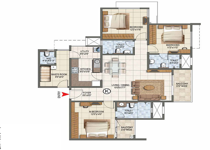
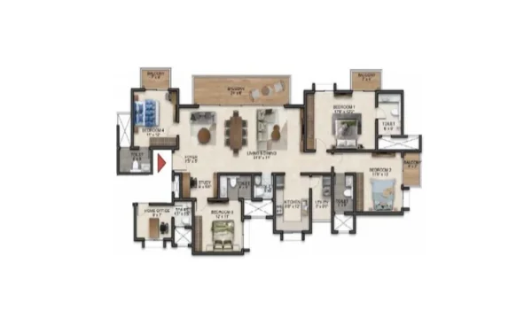
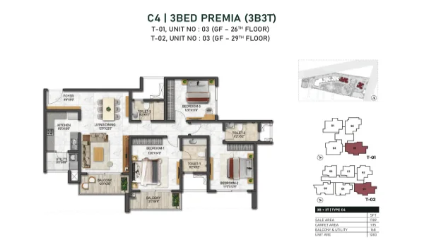
The project offers 2 BHK flats of 1,080–1,140 sq. ft., 3 BHK homes of 1,470–1,790 sq. ft. and 4 BHK penthouses of 2,779–3,069 sq. ft. RGA Tech Park is about 11.4 km away, while Carmelaram railway station is about 10.7 km away. These landmarks help buyers place the project within the wider corridor. The stated possession target is December 2030.

FAQs


1. Which part of Sarjapur Road is Ittangur in?

Ittangur is near the Sarjapura town end of the wider corridor. It is in the southeastern Bangalore region.

2. Is Ittangur near Bellandur?

Ittangur is farther towards Sarjapura than Bellandur. A journey between them covers a substantial part of the Sarjapur Road corridor.

3. Is Ittangur the same as Sarjapura?

They are separate places. Ittangur is a village near Sarjapura and belongs to Sarjapura hobli.

4. Does every Ittangur property face Sarjapur Main Road?

No. Many addresses use local approach roads, so the exact entrance should be checked.

5. Which taluk does Ittangur belong to?

Ittangur belongs to Anekal taluk in Bengaluru Urban district. Its hobli is Sarjapura.

6. What is Ittangur's PIN code?

The PIN code is 562125. A full address is needed because nearby places share the same code.

Prestige Garden Breeze Blog


Enquiry
Enquire Now